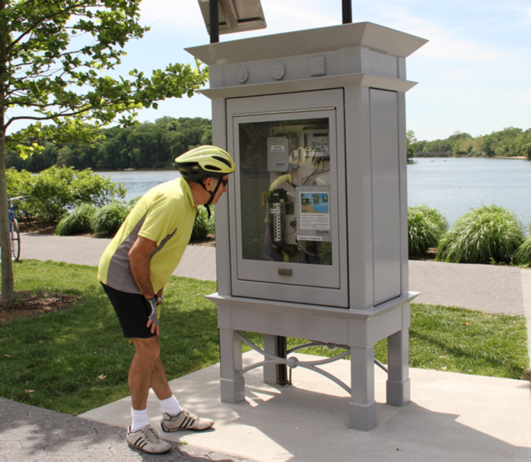
Streamgage
A streamgage is located at the western end of the park near 34th Street, N.W. Streamgages are used to measure the height (stage) of the river and for flood forecasting, storm water management, tidal monitoring, climate change studies, and other scientific purposes. The Georgetown streamgage is operated by the United States Geological Survey (USGS) in cooperation with the U.S. Army Corps of Engineers, and the National Park Service. The USGS operates a network of about 7,000 streamgages throughout the United States. Access data from the Georgetown streamgage in real time.

